
Stubble Burning Shift: New Air Quality Concerns in India
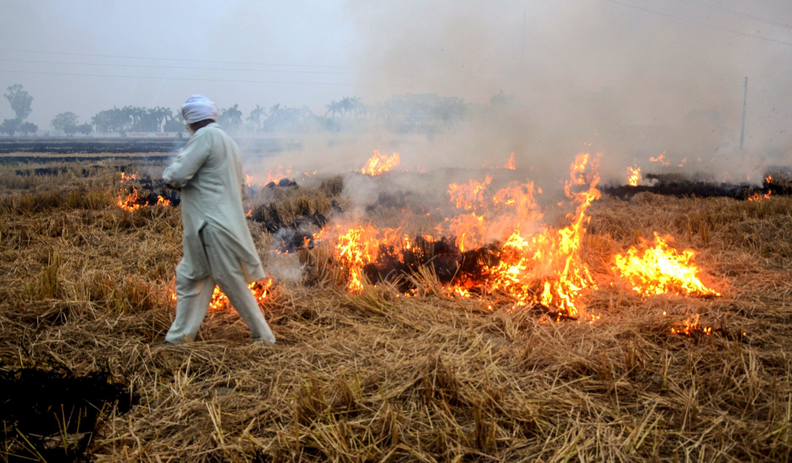
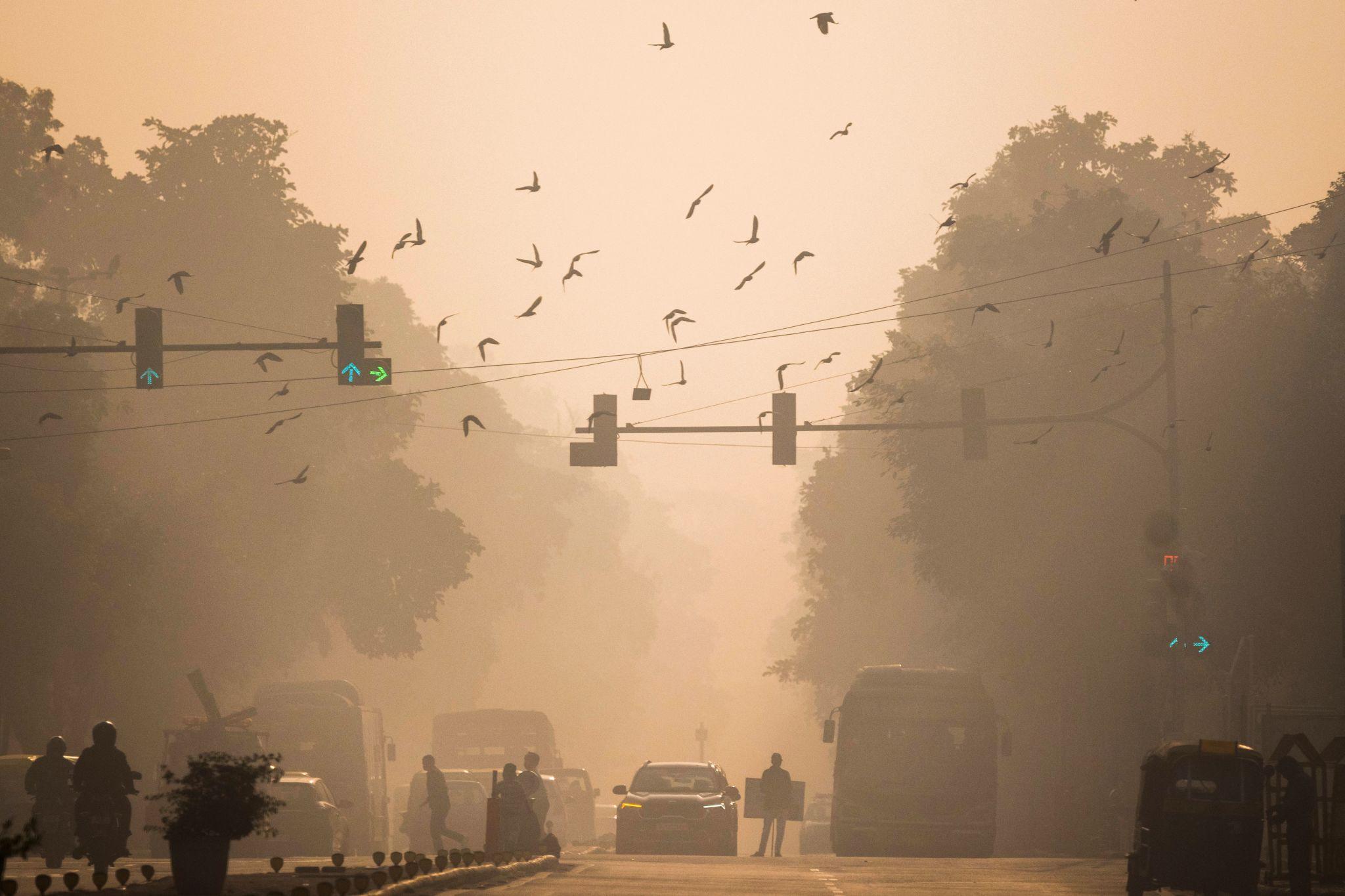
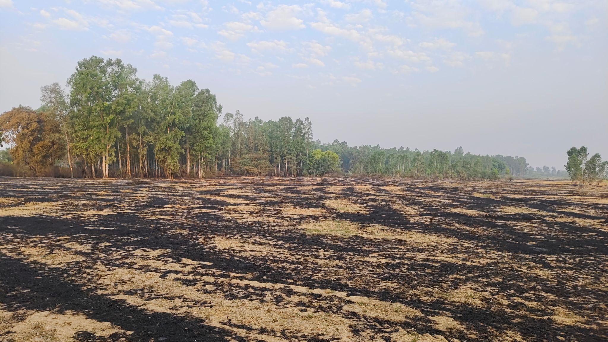
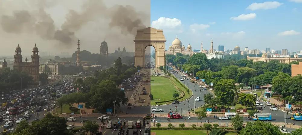
Stubble burning in northwest India—particularly across Punjab and Haryana—continues to pose severe environmental and health risks, even as evolving farm practices introduce fresh challenges for monitoring agencies. Traditionally, farmers in the region burn crop residue twice a year: once during the October–November season to prepare fields for wheat, and again in April–May before sowing paddy. These widespread fires release massive quantities of smoke, particulate matter (PM), and aerosols, sharply deteriorating air quality across the Indo-Gangetic Plain, with Delhi frequently becoming the most visible victim of this pollution crisis.
Stubble Burning and Air Quality Impact
Recent satellite-based observations reveal a concerning shift in the timing of these fires. A study using India’s geostationary satellite INSAT-3DS reported that peak stubble-burning activity was occurring in the late afternoon by mid-November 2024. Researchers suggest this change may be a deliberate attempt to evade detection by polar-orbiting satellites, which typically cross the equator approximately between 10:30 a.m/pm and 1:30 a.m/p.m local time. Such timing adjustments can lead to significant underestimation of fire counts and emissions when monitoring relies solely on polar orbiting sensors.
Satellite Monitoring and Detection Challenges
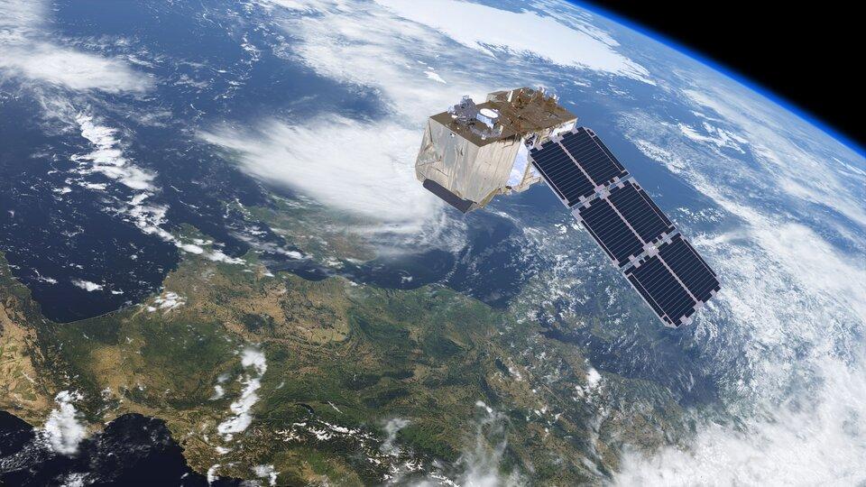
To overcome this limitation, scientists utilise to geostationary satellites, which, despite their coarser spatial resolution, offer strong temporal coverage. The present study analyzed data from the Meteosat Second Generation (MSG) satellite equipped with the Spinning Enhanced Visible and Infrared Imager (SEVIRI), operating in the Indian Ocean Data Coverage (IODC) mode. MSG-8 and MSG-9 in IODC configuration provide real-time active-fire alerts across a vast domain stretching from 67.5°N to 67.5°S and 22°W to 113°E, with all fire-monitoring products archived by EUMETSAT.
Shift in Burning Patterns
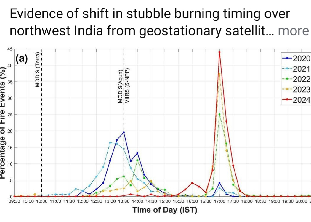
Since June 2022, Meteosat-9, positioned at 45.5°E, has taken over the IODC service from Meteosat-8, previously stationed at 41.5°E. Using SEVIRI fire detections available every 15 minutes, researchers examined burning patterns in Punjab and Haryana from 15 October to 30 November for the years 2020 to 2024. Their analysis indicates a clear shift in peak fire activity—from around 13:30 IST in 2020 to nearly 17:00 IST by 2024. At the same time, the diurnal window of fire activity narrowed substantially, suggesting an informed adjustment by farmers to avoid detection by polar orbiting sensors.
Limitations of Satellite Monitoring
The impact of temporal shift in stubble burning practices has increasingly limited detection by polar orbiting satellites and can lead to underestimation of fire activity. Geostationary satellites with their high frequency temporal coverage are able to capture diurnal variation and provide a more complete picture of stubble burning dynamics. Despite limitations—including coarse spatial resolution (2–5 km), lower saturation temperatures in mid-infrared and thermal infrared channels, and reduced sensitivity to smaller fires—they remain indispensable for capturing late-afternoon burning events that LEO satellites increasingly miss.
Need for Integrated Satellite Approach
Experts argue that the way forward lies in integrating observations from both satellite types. Treating geostationary and low earth-orbiting sensors as complementary, rather than independent, can dramatically improve fire detection accuracy. Such an approach is essential for building reliable emission inventories and improving the modeling of atmospheric processes, trace gases, aerosols, and air quality.
Conclusion
As the region continues to grapple with the annual haze, the call for a robust, multi-satellite monitoring framework has never been more urgent.
Read more from EUMETSAT satellite fire monitoring data .